Sacramento · CA
South Natomas, Sacramento: Neighborhood Guide
South Natomas has subdivisions from the 1950s to the 1980s between I-80 and the American River, minutes from downtown on I-5.
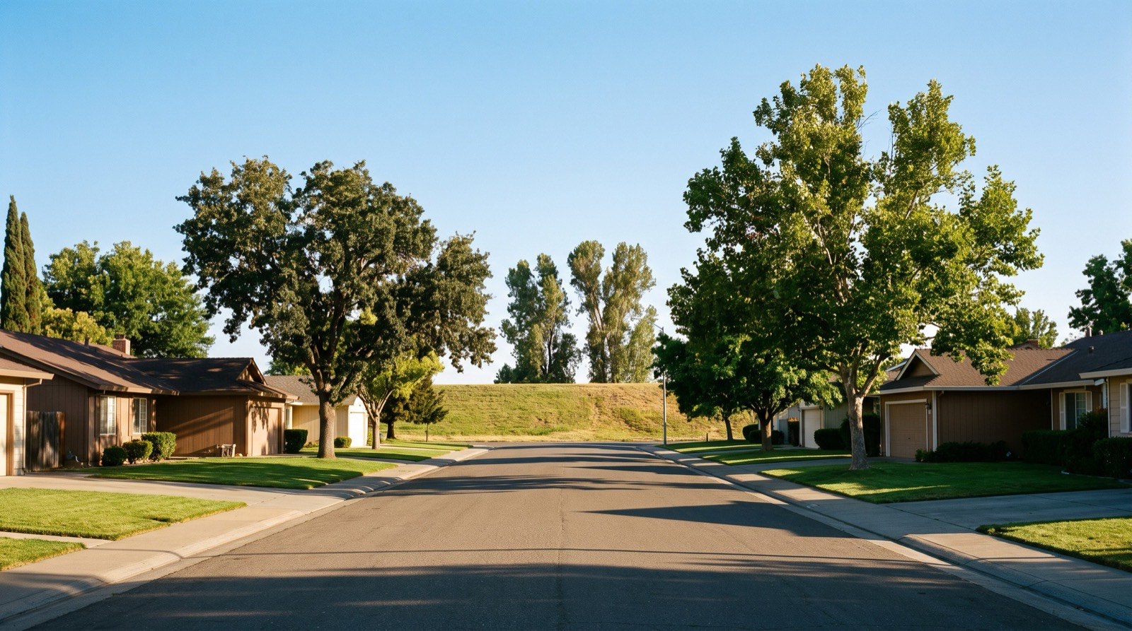
What is South Natomas?
South Natomas is the part of Natomas south of Interstate 80. It runs down to Garden Highway and the American River, across the water from downtown. The Sacramento River lies to the west, and Steelhead Creek marks the eastern edge of Natomas.
South Natomas is the older half of Natomas. Its streets were laid out decades before North Natomas existed, and it sits closer to the central city than any other part of the Natomas Basin.
Natomas carries the 95833, 95834 and 95835 ZIP codes, and much of South Natomas falls in 95833.
Talk With Maggie About South Natomas
How did South Natomas grow up?
South Natomas was built mainly as residential subdivisions from the 1950s through the 1980s. In 1982 the city amended its community plan to allow 2.4 million square feet of new office parks along Interstate 5, which is why office buildings line the freeway today.
Northgate Boulevard, on the east side, carries more shops and hotels. To the north, the open farmland across I-80 stayed farmland until North Natomas took off in the mid-1990s.
South Natomas sits inside the same Natomas Basin levee system as the north. FEMA's December 8, 2008, moratorium on new construction covered the whole basin until it was lifted in 2015, and the Army Corps levee work described by Reclamation District 1000 continues.
What types of homes are in South Natomas?
South Natomas homes span about four decades, from the 1950s through the 1980s. Because the neighborhood was built one subdivision at a time, the age of the homes can change from one tract to the next.
A four-decade spread gives South Natomas more variety than North Natomas, where nearly everything dates from the mid-1990s on. It also means a 1950s home and a 1980s home a mile apart are different purchases, with different systems to inspect and different updates to price in.
Every address needs a flood check. Look up the FEMA designation and get an insurance quote before you write, because the lender may require coverage and the cost changes the payment.
How do you get around South Natomas?
South Natomas sits directly across the American River from downtown. Interstate 5 crosses the American River straight into downtown, and Interstate 80 runs along the north edge. Garden Highway follows the river along the south side.
The airport is a short drive north on I-5. That matters for anyone who flies for work, and the state's four-day office order, in effect since July 1, 2026, makes the downtown commute count for more as well.
Which school district serves South Natomas?
Most of South Natomas is in Natomas Unified School District, and the Northgate area is in Twin Rivers Unified School District. Because two districts meet inside South Natomas, the line can fall between nearby streets. Confirm the assigned school with the district directly.
What draws buyers to South Natomas?
The river is the edge of South Natomas. The American River Parkway, about 32 miles long, begins at Discovery Park, where the American River meets the Sacramento, and runs east to Folsom Lake.
The location is the other draw. South Natomas sits between downtown and the airport, with I-5 at the center of both trips.
The trade-off versus North Natomas is age. South Natomas homes are older, and they sit closer to downtown. Compared with the central-city neighborhoods across the river, South Natomas homes are newer than most of Land Park or East Sacramento, and the flood check is the extra step.
What should sellers in South Natomas know?
A South Natomas home competes with homes of the same decade, not the whole area. A 1960s house prices off other 1960s houses nearby, and a 1980s townhome off its own complex. Have your flood zone, insurance cost and any HOA documents ready before you list.
Surroundings is led by Maggie B. Hopkins, a real estate broker and a mortgage broker. If a South Natomas rental is part of your plan, see investment property in Sacramento. For a standard sale, read selling your home in Sacramento.
Only in Natomas
A place where farmland is part of the plan.
The Natomas Basin Habitat Conservation Plan covers 53,537 acres in Sacramento and Sutter counties. The Natomas Basin Conservancy manages preserve lands, including rice fields and managed marsh, for 22 plants and animals, among them the giant garter snake and Swainson's hawk.
The numbers: a full year of sales
Every neighborhood has a median, and in Sacramento the median only tells part of the story. Lot sizes vary. Eras mix. Custom homes sit beside tract homes. So even where the median is $490,000, there are one-of-a-kind homes that sell for far more, and the street, the lot and the details move the number.
Natomas splits into two price pictures, so here are both.
South Natomas and Gateway (ZIPs 95833 and 95834): Last year, 439 single-family homes sold (October 1, 2025 to September 30, 2026). The typical home was built in 2004, with 3 bedrooms and about 1,609 square feet, on a lot of about 4,726 square feet. Half of the sales landed between $440k and $550k, depending on lot size, condition, square footage and more, and the median was $490,000. Condos and townhomes aren't included.
North Natomas and Westlake (ZIP 95835): Last year, 410 single-family homes sold. The typical home was built in 2004, with 4 bedrooms and about 2,044 square feet, on a lot of about 5,160 square feet. Half of the sales landed between $515k and $650k, depending on lot size, condition, square footage and more, and the median was $580,000. Condos and townhomes aren't included.
This is what happened, not what will happen. Ask us for today's numbers.
Source: MetroList, single-family homes that closed October 1, 2025 to September 30, 2026. Any single-month figure elsewhere on this page is a separate, shorter snapshot.
Good to know before you look
Natomas is a historical floodplain. New building was paused from 2008 until a revised FEMA flood map took effect on June 16, 2015, after levee standards were raised. Flood zone, special assessments and HOA status vary by parcel. We look these up for each address.
Ready to talk about South Natomas?
If you are buying here, start with buying a home in Sacramento. If you are comparing nearby, read our guides to North Natomas and Downtown Sacramento, or the Sacramento neighborhoods guide. Then talk with Maggie.
Frequently Asked Questions
Where is South Natomas?
South Natomas is the part of Natomas between Interstate 80 and the American River, across the river from downtown Sacramento.
When was South Natomas built?
South Natomas was built mainly as residential subdivisions from the 1950s through the 1980s.
Is South Natomas in a flood zone?
South Natomas sits in the Natomas Basin, a historical floodplain protected by levees. Check the FEMA designation and get a flood insurance quote for each address.
What school district serves South Natomas?
Most of South Natomas is in Natomas Unified School District, and the Northgate area is in Twin Rivers Unified School District. Because two districts meet inside South Natomas, the line can fall between nearby streets. Confirm the assigned school with the district directly.
How far is South Natomas from downtown?
South Natomas sits directly across the American River from downtown, and Interstate 5 connects the two.
Where does the American River Parkway start?
The American River Parkway starts at Discovery Park, where the American River meets the Sacramento River, and runs about 32 miles to Folsom Lake.
The method
How we do it in South Natomas
More of Sacramento
Ready to make your move with Surroundings?